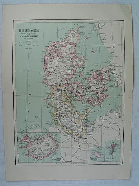
Map of Denmark, Bartholomew
- 19th century map print, drawn by J Bartholomew, Edinburgh. Scale: 1.50 Inch to 50 Mile.
- £8.00
Shop Categories > Maps > 19th Century Maps

Antique Map of Denmark - Iceland & The Faroe Islands, with Schleswig-Holstein and Lauenburg.
19th century map print, drawn by J Bartholomew, Edinburgh.
Scale: 1.50 Inch to 50 Mile.
Authentic antique colour map print originally from an 19th Century publication.
Good margins.
No printing to reverse.
Ideal for interior designers / decorators, for use in hotels, public houses, bars, offices, public buildings, restaurants etc.
Ready to matt and frame.
Size:
Overall Sheet Size:
Approx 366 mm x 265 mm (14.50" x 10.50")
Visible Image Size:
Approx 300 mm x 225 mm (11.75" x 9")
Good clean copy.
Centre fold as at original publication.
This is an Antique Print over 100 years old - not a modern copy.
Please take a close look at all of the photos provided as these form an integral part of the item description
SHIPPING & DELIVERY INFORMATION | OUR BUSINESS TERMS AND CONDITIONS
SKU: ANTPRNT0037B-RC/EB
See More
Maps
Antique, Vintage Maps, Old Map, Places, Edinburgh, Scotland
Rhodons Collectables